Climbing Mt Wellington

There's a monster that lives in the clouds above Hobart. A sinuous, relentless giant that inflicts pain on all who dare challenge it. I was lucky enough to climb it in good conditions on our recent trip to Hobart. Even then, this was quite a hill.
Words - James Raison
THE START
Mt Wellington is a rare opportunity to gain 1,250m starting at sea level in Hobart itself. For those who go to Hobart for cycling, you will be climbing almost immediately after walking out your hotel. The CBD streets are your warm up for what will be well over an hour of climbing for most mere mortals.
THE LOWER SLOPES
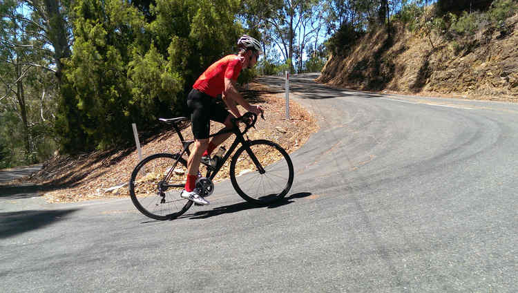
The Cascade Brewery is where the climb really begins with a long straight section before you enter a stunning series of hairpin bends. A few of the turns start to sting your legs as they flirt with the 10% mark and you're constantly aware of just how far you still have to go.
DROPPING THE HAMMER
Around the 5km mark you'll enjoy some respite as the climb drops down hill for a few hundred metres. I noted my average speed to this point was well above my target for the climb so I nudged the pace up with the downhill run. It was going well, the legs were feeling good, but sweat was starting to run down my face.
THE CLIMB PROPER

The previous 5 km are an entre, this is where the massive main course begins.
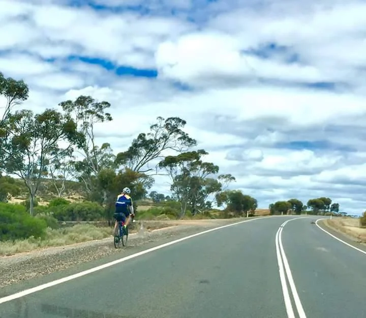
Things get serious when you turn onto Pinnacle road at 6.6 km. You've still got 11km to, and you've had it easy so far. The road plunges into the tall trees and you're suddenly isolated from the world. The roads here are wet even on dry days. Bird calls echo all around you, but the cars and tourist buses are a constant reminder of how close to civilisation you still are. Beware chewing stem too much, there's no centre line marked on the narrow roads and it's easy to get surprised by the small to medium sized tourist buses making their way up and down.
THE SECOND HALF

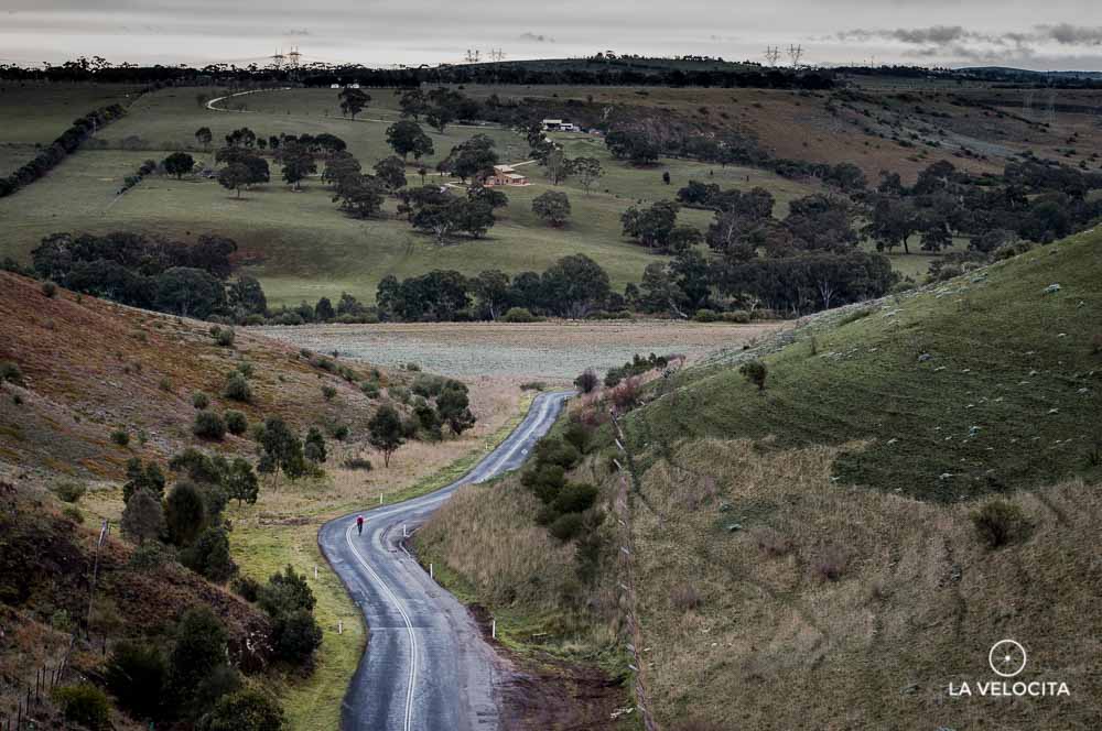
This is a damp and narrow climb.
A short descent marks the start of the final 8kms, and where the climb starts to get punishing. You're on a completely exposed road overlooking an enormous drop down to Hobart. It's narrow, the averge gradient increases to 7-10% for a painful 4 km. I was lucky enough to only have a light South-Easterly breeze at my back for this section which left me free to stare intently at my Garmin. Numbers counting down the final kilometers start to appear on the road. Both a blessing and a frustration as you see there's still 5km to go.
THE SUMMIT
It gets inhospitable this far up.
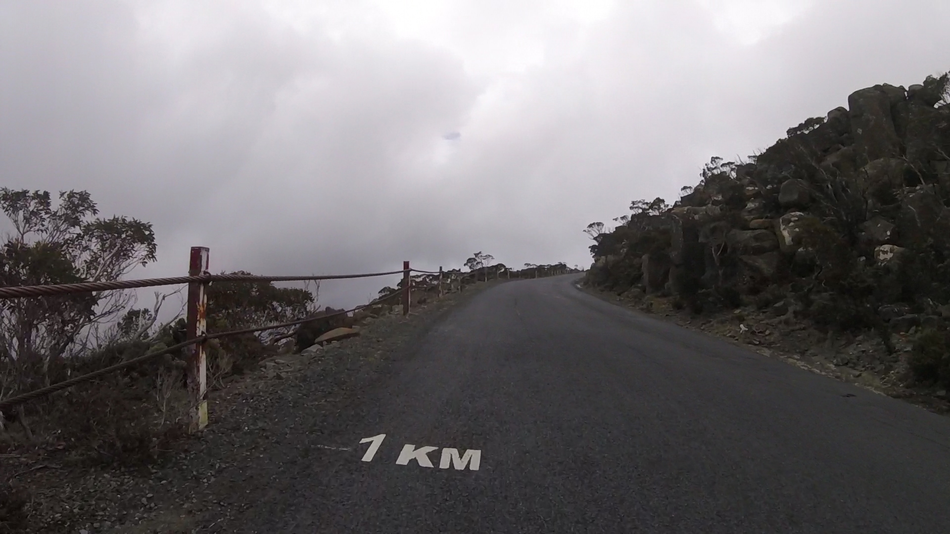
For the final 5km the terrain starts to reflect the savagery of this mountain. Tall trees are a distant memory, replaced by rocks and scraggly, wind-swept . The road surface degrades significantly and you need to keep your eyes up to avoid the wheel-eating potholes. You'll round the final hairpin at about 3km to go and the gradient eases up. I upped the tempo, committed to burning all my energy to get to the top while acutely aware of heavily sweating but starting to feel cold. The distant aerials and tourist building are a merciful sight and soon you'll hit the carpark. If you're incredibly lucky, there will be a view down to Hobart. I wasn't. After rolling around the carpark, catching my breath, and having some of the bus-occupants congratulate my efforts, I quickly put on a jacket and headed for the very tough descent. The poor road conditions, 3 degree temperatures and lack of centre lines made for a nervous ride down.
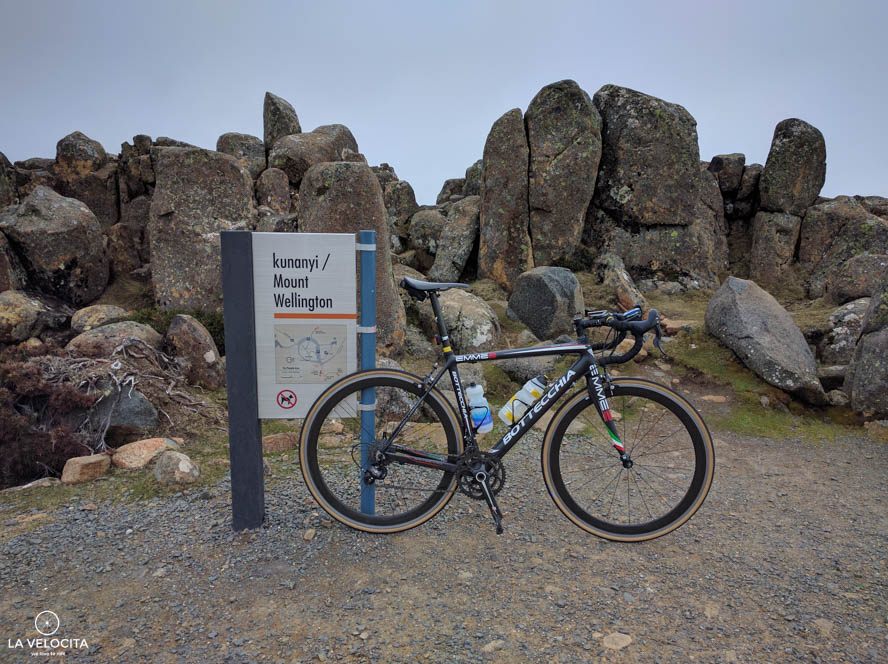
The only decent view I found at the top.
Ever climbed Mt Wellington? What did you think? Drop a comment below.